How to use this information: Device location is an estimate is most useful when it is read with location, update time and the surrounding forecast rather than treated as an isolated number. For everyday planning, compare the current value with the next few hours. When safety is involved, confirm conditions with the responsible meteorological or public-safety authority.
What not to assume: A consumer forecast simplifies a changing atmosphere. Weather location accuracy: GPS, city names and forecast grids should support a decision, not create false precision about an exact street, exact minute or guaranteed outcome.
Device location is an estimate
Phones can determine location from satellite signals, Wi-Fi, mobile networks and other system services. Accuracy varies with environment and permission settings.
If exact placement matters, verify the map or coordinates where the product provides them.
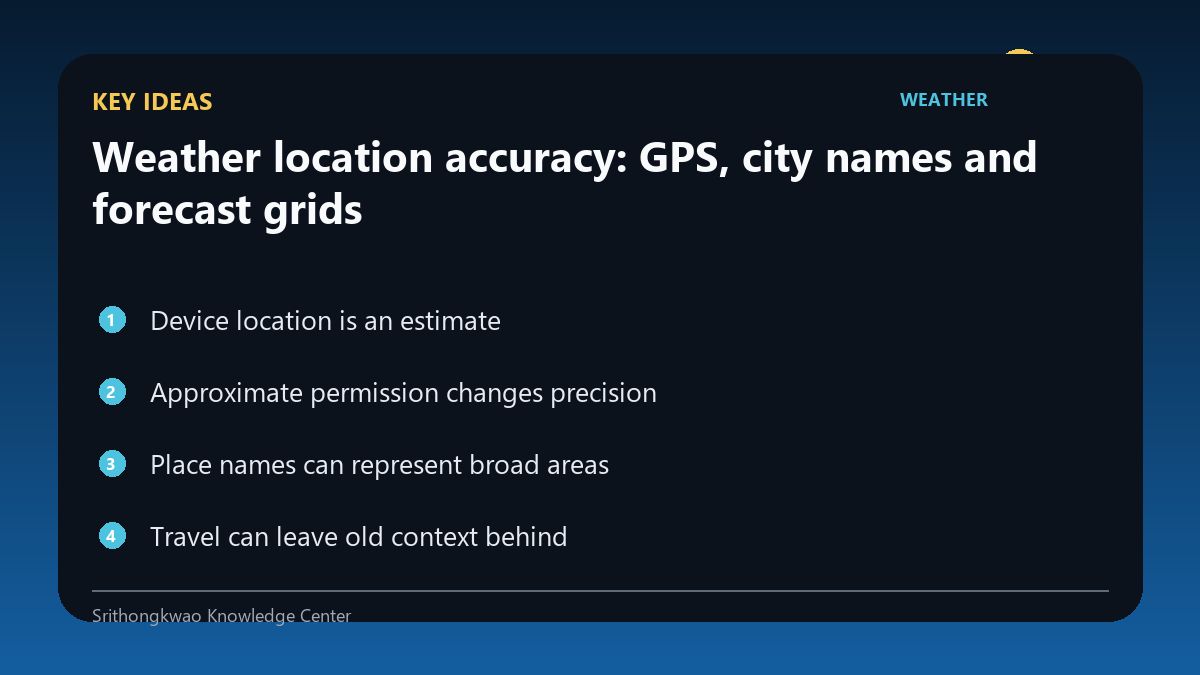
Approximate permission changes precision
Modern devices may let users provide approximate rather than precise location. This protects privacy but can move the selected forecast point.
Choose the permission level appropriate to your needs and use manual search if you prefer not to share device location.
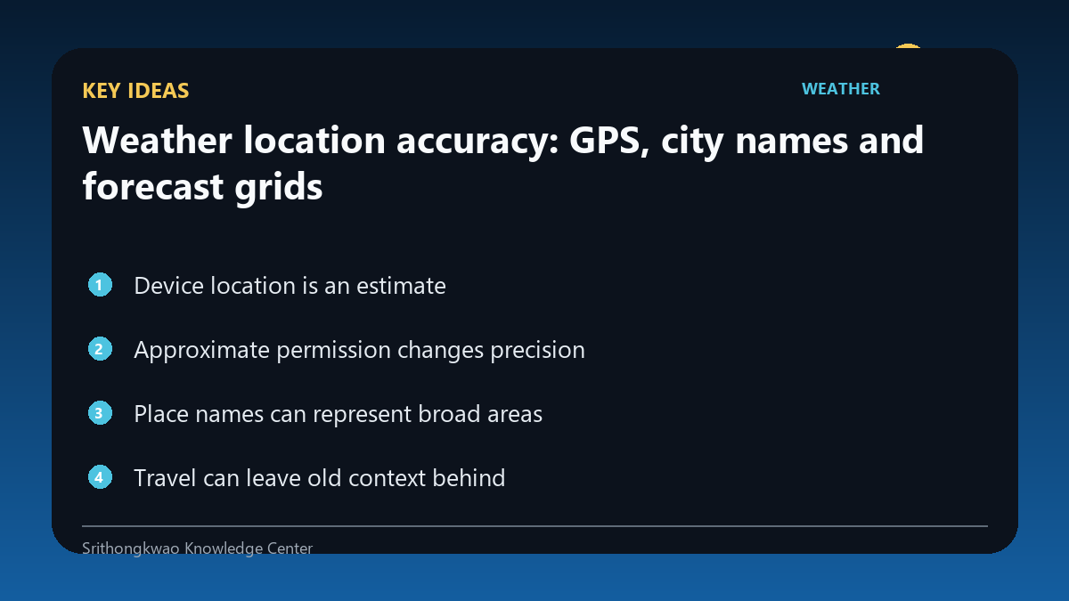
Place names can represent broad areas
A city label may cover a large area, while the weather provider uses an underlying grid point or station. Two users with the same city name can still receive slightly different values.
Use the displayed place as orientation, not proof that every neighbourhood is identical.
Travel can leave old context behind
A cached app state or manually saved location may remain selected after you move to another province or country.
Check location after travel before interpreting current conditions.
Manual search is a useful privacy option
A user who does not want device location can often select a city manually. This trades automatic local precision for greater control over what is shared.
Use manual location when that level of precision is sufficient for your purpose.
Common mistakes to avoid
- Assuming the city name means exact street-level weather.
- Forgetting to change a saved location after travel.
- Thinking precise location permission is required for every weather use.
Practical checklist
- Verify the displayed place.
- Review location permission.
- Use manual search if preferred.
- Refresh after travel.
- Consider local variation.
Frequently asked questions
Can approximate location still show useful weather?
Often yes, especially for broad city-level planning.
Why does the app show a nearby district?
Reverse geocoding and forecast grids may use nearby place labels.
Do I need GPS for weather?
Not always. Many products allow manual location selection.