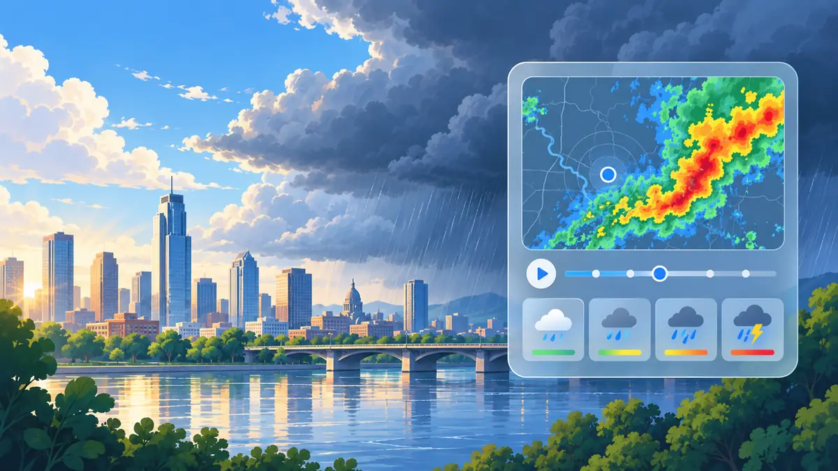
How to use this information: Radar observes precipitation structures is most useful when it is read with location, update time and the surrounding forecast rather than treated as an isolated number. For everyday planning, compare the current value with the next few hours. When safety is involved, confirm conditions with the responsible meteorological or public-safety authority.
What not to assume: A consumer forecast simplifies a changing atmosphere. Radar and nowcasting: useful tools for the next few hours should support a decision, not create false precision about an exact street, exact minute or guaranteed outcome.
Radar observes precipitation structures
Weather radar sends signals and measures returned energy associated with precipitation and other targets. Products convert that information into maps of echoes or estimated intensity.
Use radar to see where precipitation areas are located and how they are organized.
Animation reveals movement
A sequence of radar images can show whether a rain band is approaching, moving away or changing shape.
Use motion for short-term context, but remember that storms can grow, weaken or change direction.
Coverage and terrain create limits
Radar beams rise with distance and can be blocked or affected by terrain and other factors. Not every location has equally good coverage.
Do not interpret a weak or missing echo as proof that conditions are safe.
Nowcasting is short term
Nowcasting focuses on the next minutes to few hours using recent observations and storm movement. It is different from a multi-day forecast.
Use it when the timing of nearby rain or storms matters now, while keeping the broader hourly forecast for context.
Warnings remain authoritative
Official agencies can interpret radar together with observations, models and local impact knowledge.
When warnings are issued, follow them rather than trying to overrule the warning with your own radar reading.
Common mistakes to avoid
- Treating radar colour as an exact ground rainfall amount everywhere.
- Projecting current motion unchanged for many hours.
- Ignoring official warnings because an echo looks weak.
Practical checklist
- Use animation.
- Check the radar timestamp.
- Know coverage limits.
- Combine with hourly forecasts.
- Follow official warnings.
Frequently asked questions
Can radar tell the exact minute rain reaches my street?
It can support short-term estimates, but storm evolution and coverage prevent perfect precision.
Why can radar show echoes without rain at the ground?
Beam height, evaporation and non-weather targets can affect what appears on radar products.
How far ahead is nowcasting useful?
It is designed for short time horizons rather than replacing multi-day forecasting.